

Build an agronomic data platform with Amazon SageMaker geospatial capabilities
AWS Machine Learning
DECEMBER 1, 2022
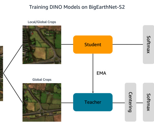
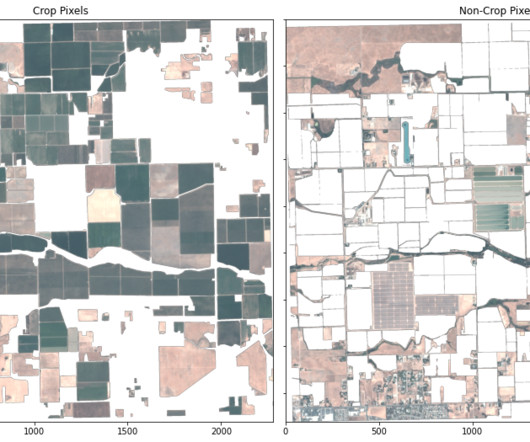
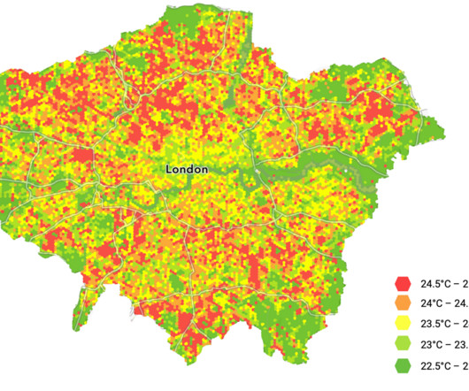
Geospatial data, including satellite imagery, soil data, weather, and topography data, are layered together with data collected by agricultural equipment during planting, nutrient application, and harvest operations. This example user interface depicts common geospatial data overlays consumed by farmers and agricultural stakeholders.


Let's personalize your content